Southwest USA Trip - Sunset Crater Volcano National Monument
June 18, 2003
By Dan Hyde
Sunset Crater Volcano National Monument just north east of Flagstaff,
Arizona, is a geologist's dream. Here the Sunset Crater Volcano
violently erupted 800 years ago. One can still see the cinder cone,
the lava flows, the volcanic bombs as if they only cooled yesterday.
We hiked the mile and a half long lava Trail and were rewarded with
many unique volcanic phenomena. We highly recommend it if you ever
have a chance to visit.
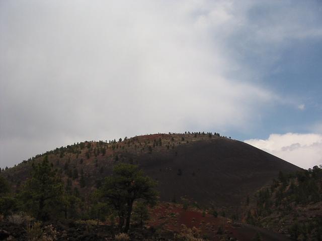
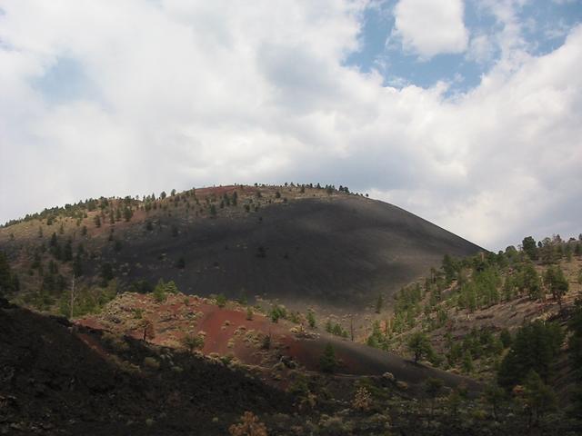
Sunset Crater Received Its Name From the Red Bands of Cinders Near the
Top of the Volcano's Cone
Lava Flows in Front of Sunset Crater Volcano Cone
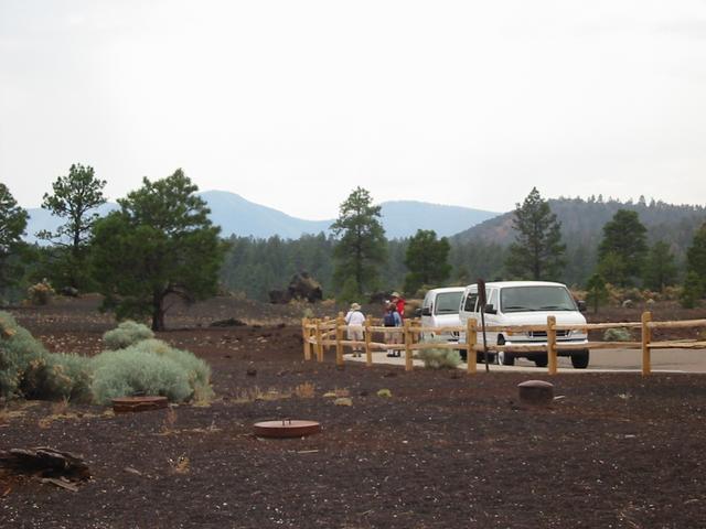
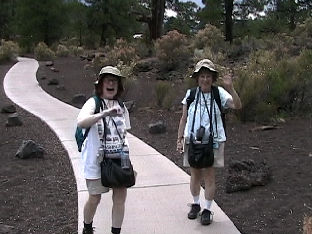
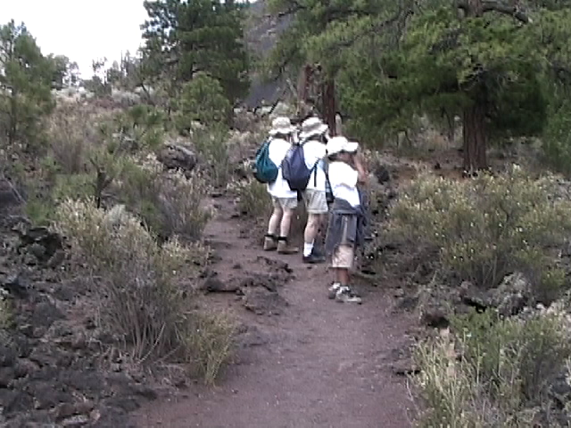
Mary Jane, Jan and Dan (Red Jacket) Start on the Mile and a Half Lava Trail
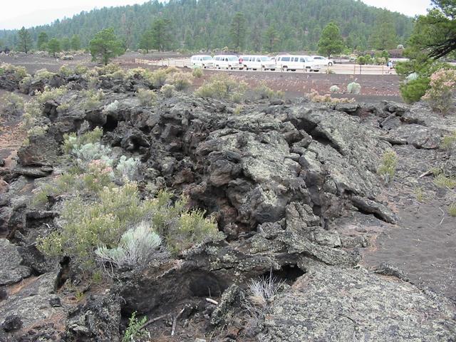
Good Shot of Lava Close to the Parking Lot.
Shows the Chunks are Several Yards Wide.
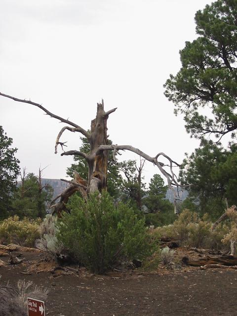
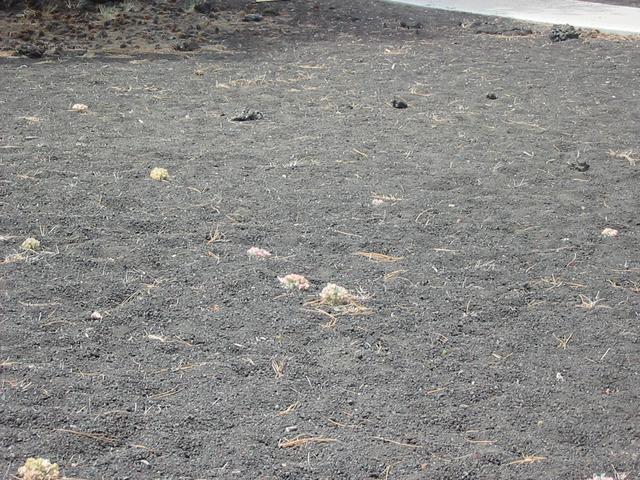
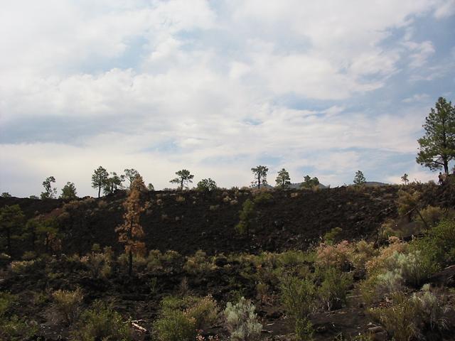
Area Near Dead Tree On the Trail is Typical of the Terrain and Plants
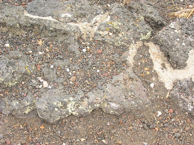
Details of the Cinders Blown Out of the Volcano 800 Years ago
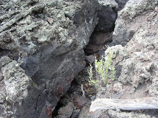
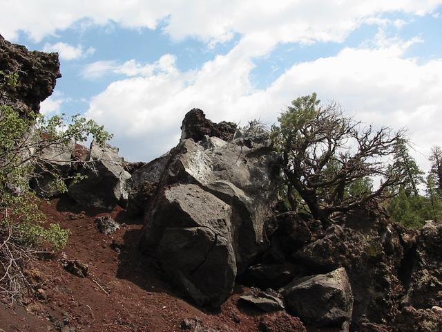
Chunks of Split Lava Crust Above Lava "Caves."
The Caves were Formed When Molten Rivers of Lava That were Flowing
Under the Hardened Crust Drained Out.
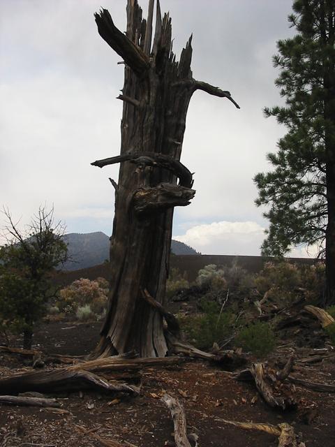
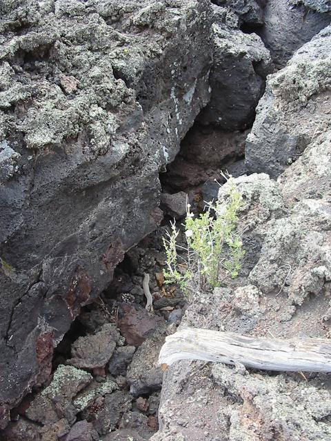
Dead Tree Along the Trail
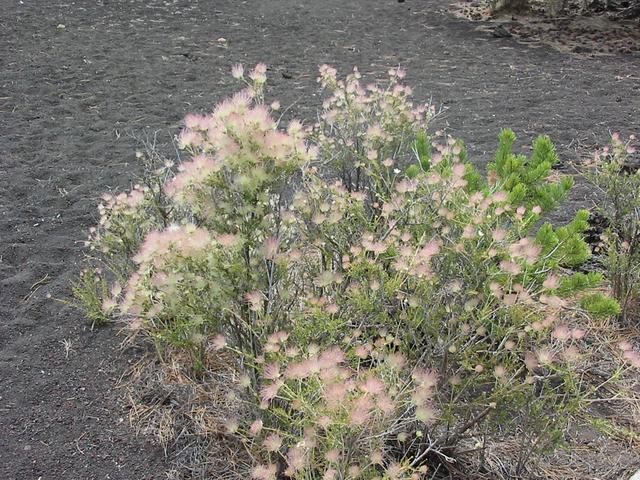
Neat Bush that Grows in the Cinders
Typical Loose Cinders Blown Out of the Volcano 800 Years Ago
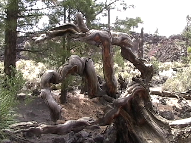
Neat Dead Tree on the Trail
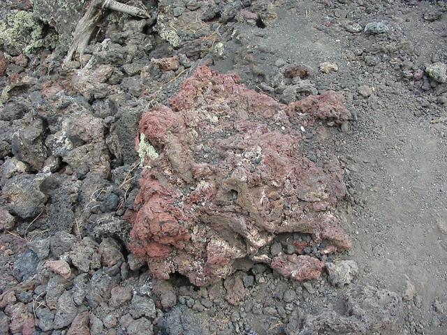
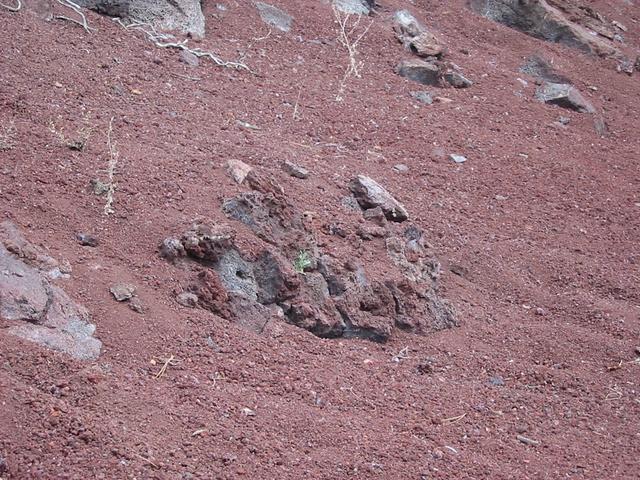
Probably a Bomb that was Blasted out of the Volcano and Fell in
Cinder Field
The Four-Foot Wall of a 50 foot in Diameter Hot Lava Vent.
The Wall was Formed By the Spitting Action of the Bubbling Liquid Lava.
The Breaking 800 years ago of the Hardened Lava Crust by the Molten Lava
Underneath.
Technically called a "Squeeze" as the Molten Lava Underneath Pushes
Up
the Hardened Crust like Squeezing the End of A Toothpaste Tube.
The gap is about 6 feet wide.
Another Shot of the Squeeze.
Red Cinders with Grey Bombs Along the Trail
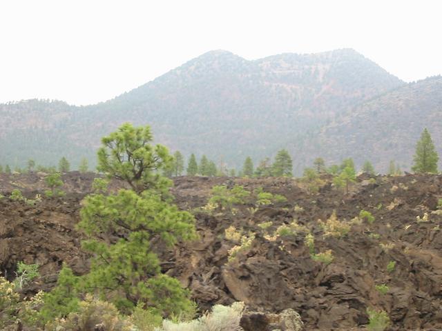
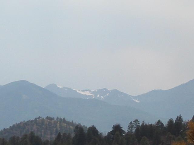
The San Francisco Mountains in the Distance
Note the Snow Near the Highest Peak even in Mid June
This Lava Has a Lot Less Air Bubbles in it.
Meaning it probably cooled slowly.
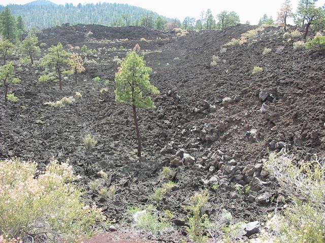
A 100-foot Wall of Lava Which Stopped Where it Cooled Many Years Ago
The Trail Descends the 100-foot Wall by Traveling on Side of the Cinder Cone
Another Shot of the 100-foot Wall of Lava.
For Scale Notice the Person Under the Tall Tree on the Far Right
The Foreground of the Previous Picture.
It Shows Some of the Plants that Grow in the Cinder Soil.
A View of The Volcano's Cone Showing the Soil's Multiple Colors
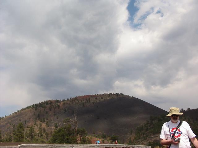
Dan with Volcano Cone in Background
Mary Jane
and Jan Walking The Lava Trail
The Beginning Section is Paved.
Gnarled Root Along Lava Trail
The Three Photographers
Page maintained by Dan Hyde, hyde at bucknell.edu Last update
July 19, 2003
Copyright © 2003
Daniel C. Hyde